SURIA: GEOTOUR IN LES GUIXERES
GEOLOGICAL AND HERITAGE TRAIL
Interest:
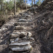
Geology, history, medieval heritage, industrial heritage, hiking
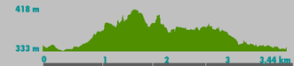
Approximate length: 2h 30min - 3h
(Guided tour)
Difficulty: gentle/moderate
Languages: Catalan, Spanish, English, French
Timetable:
Tours usually start early in the morning (about 8am and 10am) or else in the afternoon.
Material for the
attendees:
Guide explanations are complemented with
augmented reality new technologies and applications for mobile devices.
Transport:
Not included


REMEMBER!:
- No walking off the beaten track.
- Respect geological heritage.
- No damage outcrops.
- Do not collect rock samples unless the guide indicates to do it.
RECOMMENDATIONS:
Water, food, hat, sunscreen, appropriate clothing, comfortable footwear to walk in the forest and medication if need it (allergies, etc.).

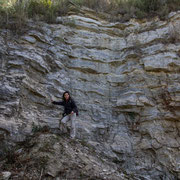
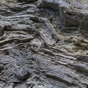
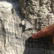
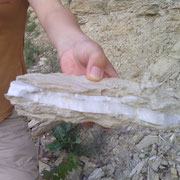
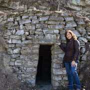
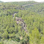
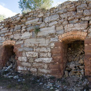
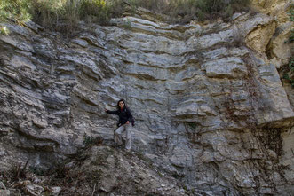
Geological Relevance of Suria
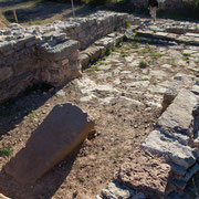
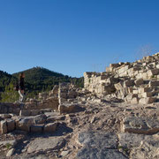
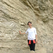
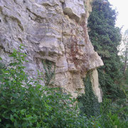
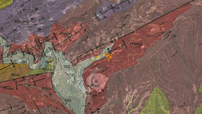
This town, still engaged in mining potash (discovered in 1912), is located in an area of geological folds (rock deformation) and thrust of the Potassic Catalan Basin. In Suria materials from Paleogene have been settled (about 41-34 million years ago), with salts of about 37 million years ago, and processes of river erosion and tectonic movements that characterize the well known Mig Mon anticlineand Tordell fault, avariety of sedimentary rocks (gypsium, limestone, clays, sandstones and conglomerates), sinkholes and river terraces. In addition, Suria has some mine shafts whose location allows to understand very well the relationship between geological structure andthe status of their mining operations.
Recovery Of A Local Heritage: Les Guixeres Retirees Volunteer Group
(In Catalan)


RATES
|
GEOTOUR LES GUIXERES |
LES GUIXERES & TICs
(WITH NEW TECHNOLOGIES) |
|||
| Catalan / Spanish | English / French |
Catalan / Spanish |
English / French | |
| Adults | 7,50€ | 9,50€ |
10,50€ |
12,50€ |
|
Seniors
Students
Unemployed |
5,50€ |
7,50€ |
8,50€ |
10,50€ |
|
Children (8-12 years old) |
4,50€ | 6,50€ |
7,50€ |
9,50€ |
|
Under
8 years old |
Free |
Free |
Free |
Free |
| Groups |
Contactar |
Contactar |
Contactar |
Contactar |
(*) Prices are per person and include 21% VAT.
|
Early booking is required T. +34-610 852 779 info@tourinnovation.com |
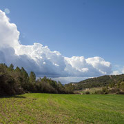
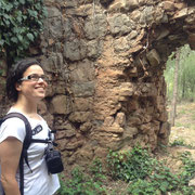
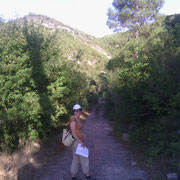
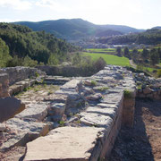
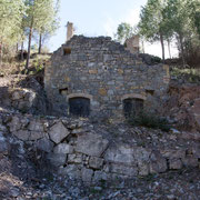
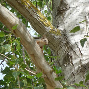
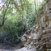
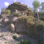
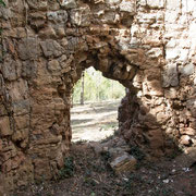
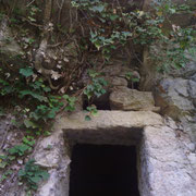
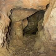
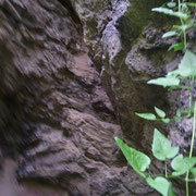
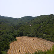
PHOTO GALLERY